


Queen Elizabeth II Wildlands Park - Explore with Gary Ataman
Submitted by garyataman
on
Outing Type →
ARE YOU READY FOR ANOTHER EXPLORE ADVENTURE?
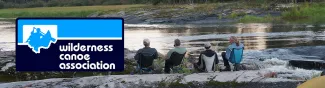
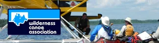
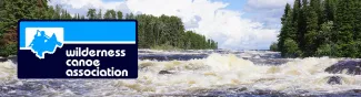
Join me, explore the hidden waterways of Queen Elizabeth II Wildlands Provincial Park. We will be travelling through classic Canadian Shield territory.